
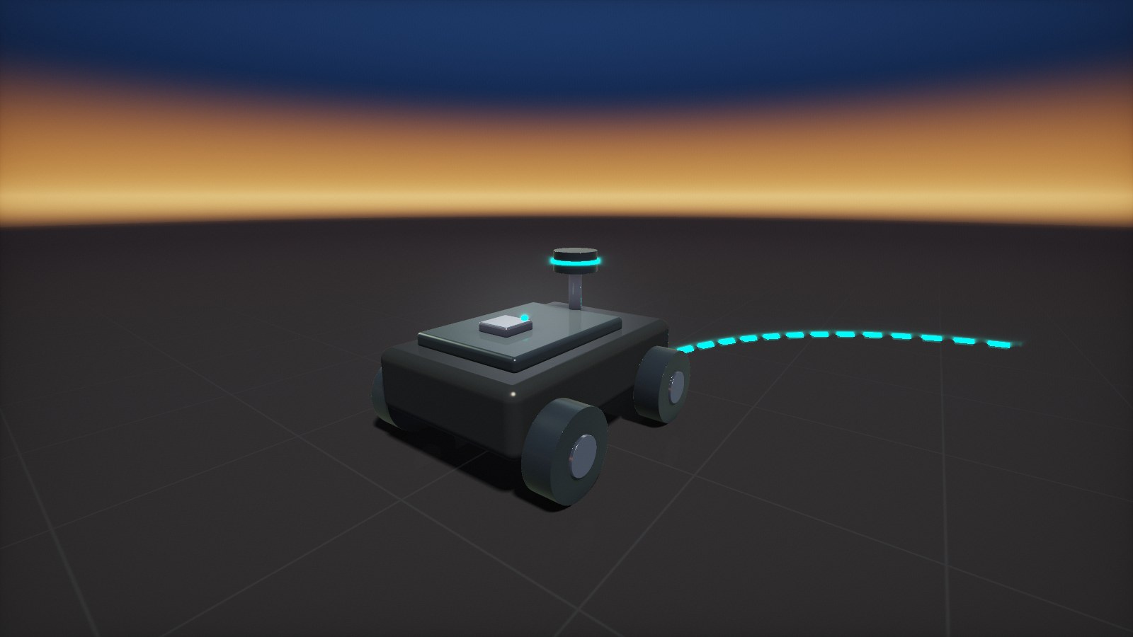
Keep navigating when GNSS drops out
Tunnels, mines, warehouses, urban canyons and dense canopy interrupt satellite positioning. An IMU bridges these gaps: it measures angular rate and acceleration, and the navigation filter turns them into attitude, heading and position, fused with GNSS, wheel odometry, LiDAR or cameras whenever they are available.
AMCORIS supplies Epson IMUs with vehicle-ready interfaces and supports you from sensor selection and evaluation to integration into your navigation stack.
QUICK ANSWER
What makes an IMU suitable for navigation?
During a GNSS outage, position errors grow from gyro and accelerometer errors. Low gyro bias instability limits heading drift, low angular random walk keeps the attitude estimate clean, and a stable accelerometer bias keeps velocity errors small. The compact M-G370PDT combines 0.8 °/h bias instability with 0.03 °/√h angular random walk; the M-G570PR reaches 0.5 °/h. The interface matters too: CANopen or J1939 for vehicles, RS-422 for long cables, UART/SPI for compact controllers.


INERTIAL DEAD RECKONING
How an IMU bridges GNSS outages
Between external position fixes, the navigation solution is carried by the IMU alone. The better the gyroscopes and accelerometers, the longer and more accurately the vehicle can navigate on its own.
1
Align
Initial attitude and heading from GNSS, a known start pose or static alignment.
2
Propagate
Angular rate and acceleration are integrated at high rate to update attitude, velocity and position.
3
Fuse
GNSS, wheel odometry, LiDAR or vision correct the accumulated drift whenever they are available.
4
Bridge
When external aids drop out, the IMU carries the solution until they return.
Angular random walk in °/√h (typ.). Shorter is better.
M-G330PDG
M-G366PDG
M-G370PDG
M-G570PR
M-G370PDT
Sources: Epson data sheets M-G330PDG0, M-G366PDG0, M-G370PDG0, M-G370PDT0 and M-G570PR20.

IMU SELECTION
Which Epson IMU for which navigation task
All IMUs provide three gyroscopes and three accelerometers with factory calibration over temperature. Values are typical gyro bias instability and angular random walk.
RECOMMENDED
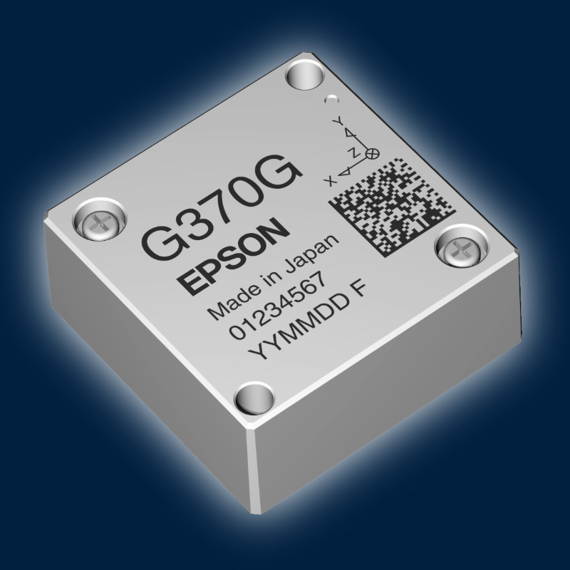
M-G370PDGOn request
UART/SPI · 0.8 °/h · 0.06 °/√h
Compact navigation controllers in robots, drones and AGVs.
Product details →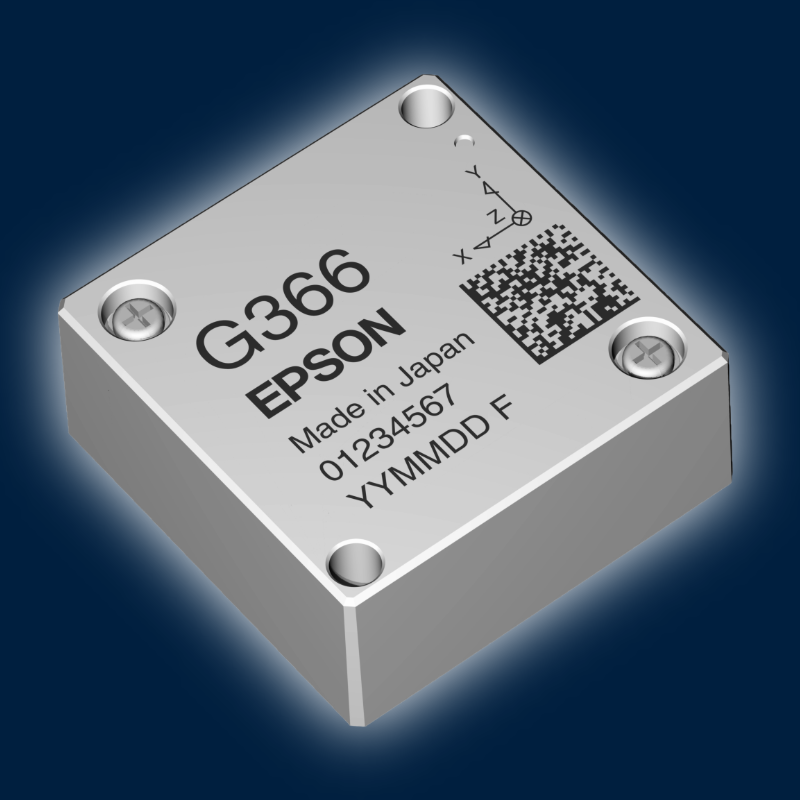
M-G366PDGOn request
UART/SPI · 1.2 °/h · 0.08 °/√h · 10 g
Small UAVs and robots with tight size, weight and power budgets.
Product details →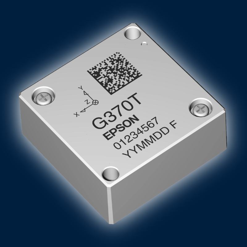
M-G370PDTOn request
UART/SPI · 0.8 °/h · 0.03 °/√h
Lowest-noise compact IMU for drones, robots and INS boards.
Product details →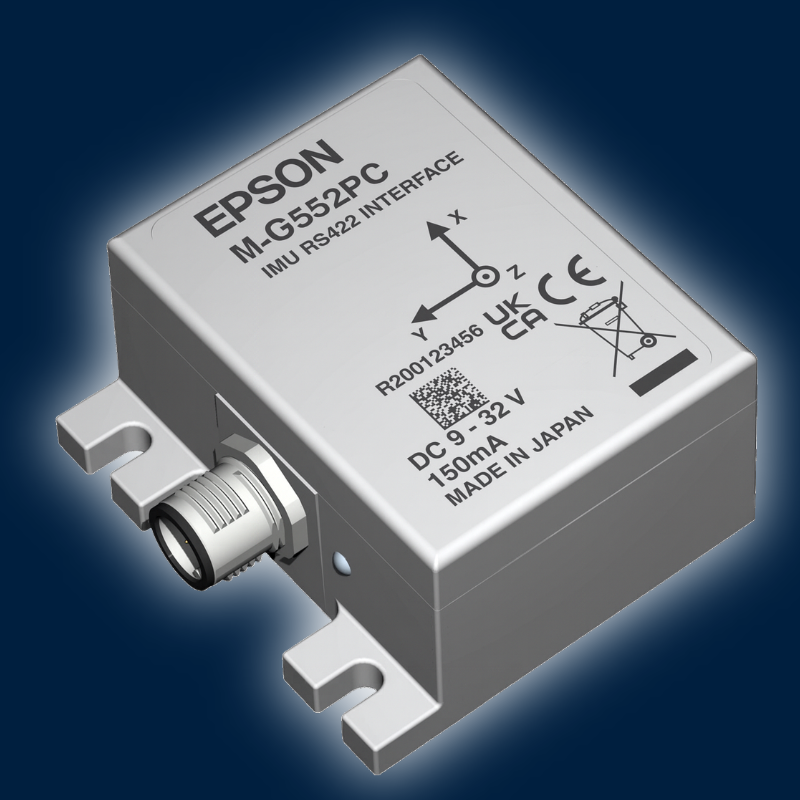
M-G552PC7On request
CANopen or J1939 (PJ7) · 0.8 °/h · 0.06 °/√h · IP67
Vehicles, mining, agricultural and construction machines.
Product details →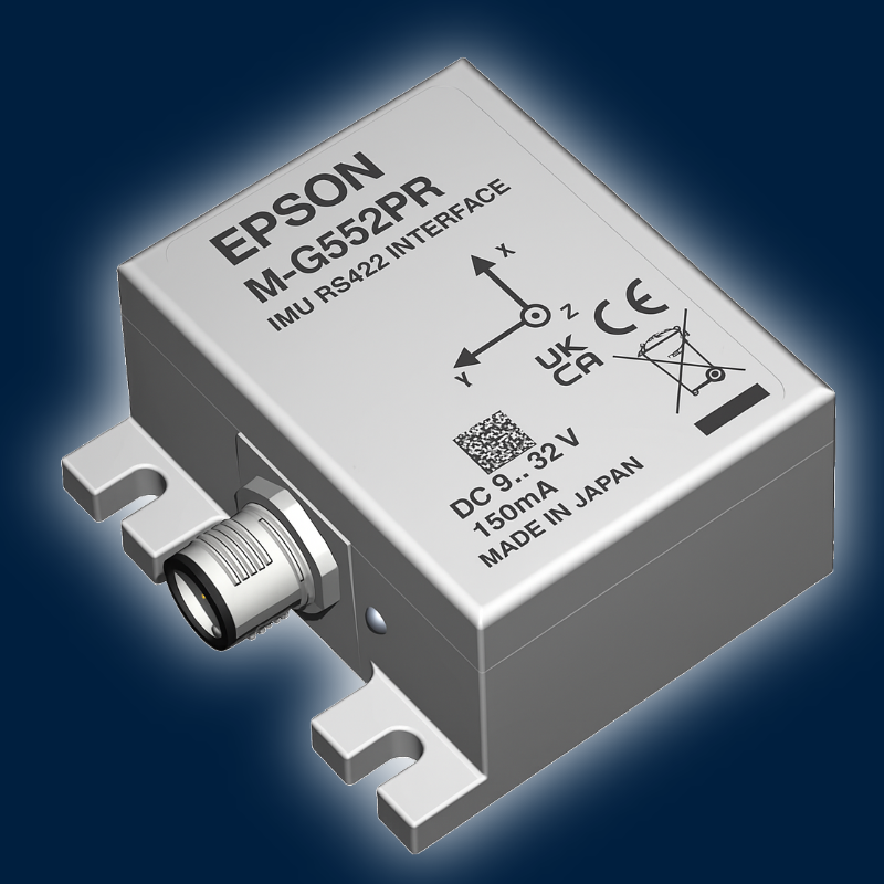
M-G552PR7On request
RS-422 · 0.8 °/h · 0.06 °/√h · IP67
Long cable runs and harsh, electrically noisy environments.
Product details →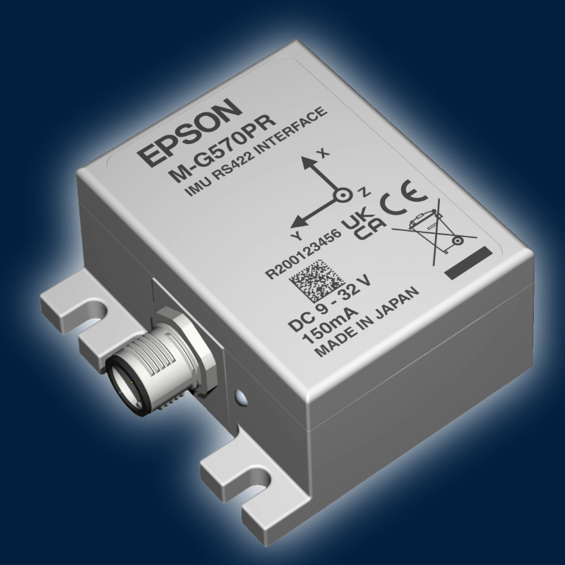
M-G570PROn request
RS-422 · 0.5 °/h · 0.04 °/√h · IP67
Highest accuracy for INS and survey-grade navigation.
Product details →FROM AMCORIS PROJECTS
Integration examples
Epson IMUs integrated into a survey drone for corridor mapping under dense canopy and into an underground mining AGV with native CANopen, where GNSS is not available.
-

Challenge
UAV Corridor Mapping
GNSS signal interruptions caused by dense canopy during high-precision corridor mapping along powerlines.
-
Solution
UAV Corridor Mapping
AMCORIS integrated a custom-tuned Epson M-G370PDG evaluation unit into the customer's navigation stack, providing high-accuracy inertial measurements for continuous positioning and sensor fusion.
-
Result
UAV Corridor Mapping
The result was uninterrupted INS operation during GNSS outages, improved SLAM performance, accurate geo-referencing and stable flight operation even under high wind conditions.
M-G370PDG
-

Challenge
Autonomous Mining AGV
Maintaining reliable vehicle navigation in underground tunnels where GNSS signals are unavailable.
-
Solution
Autonomous Mining AGV
Integration of the Epson M-G552PC with native CANopen support enabled direct communication with the vehicle's navigation controller without additional interface hardware.
-
Result
Autonomous Mining AGV
The result was seamless CANopen integration, reliable dead reckoning, reduced system complexity and continuous navigation in GNSS-denied underground environments.
M-G552PC7

INTEGRATION TOOLKIT
From first data to sensor fusion, without starting from zero
Open drivers for Epson IMUs shorten your evaluation from weeks to days. Request an evaluation kit and you get the hardware, the software path and our support.
AVAILABLE
Linux C driver & logger
Epson example driver for UART and SPI, including Raspberry Pi. Ideal for first data and embedded ports.
C · UART/SPI · public domain
View on GitHub ↗AVAILABLE
ROS 2 driver
ROS 2 node that configures the IMU and publishes /imu/data and /imu/data_raw. Covers the PDG series, M-G370PDT, M-G570PR and more.
C++ · ROS 2 Humble / Jazzy · BSD-3
View on GitHub ↗IN PREPARATION
GNSS/INS fusion node
Epson IMU node for an open-source PNT framework with GNSS/INS sensor fusion, developed in a research collaboration.
C++ · M-G370PDG first, PDG series next
Ask for early access →YOUR PLATFORM
Autopilot, MCU or custom stack?
Tell us your target platform. We support the integration on autopilots, microcontrollers and custom navigation stacks.
UART · SPI · RS-422 · CAN
Talk to an engineer →WHY AMCORIS
Why engineers choose AMCORIS
01
Navigation expertise
Experience with GNSS-denied navigation in drones, AGVs and mining vehicles.
02
Vehicle-ready interfaces
CANopen, J1939, RS-422 and UART/SPI.
03
Application engineering
IMU selection, evaluation kits and integration support.
04
Robust in the field
IP67 housings for outdoor and underground use.
QHow long can an IMU navigate without GNSS?
That depends on the IMU, the vehicle motion and the other aiding sources. Errors grow over time, so a MEMS IMU alone bridges shorter outages, while wheel odometry, LiDAR or vision aiding extend this considerably. We help you estimate the performance for your vehicle.
QWhy are gyro specifications so important for navigation?
Heading errors turn into position errors that grow with the distance travelled. Low bias instability and angular random walk keep the heading stable.
QWhich interface should I choose?
CANopen or J1939 for vehicles and machines, RS-422 for long cables and noisy environments, UART/SPI for compact controllers and robots.
QCan I test the IMUs before ordering?
Yes. Request an Epson evaluation kit from AMCORIS and test the IMU in your own setup. Our team helps you choose the right model.
More IMU's


EVALUATION KIT
Test it in your own system
Epson evaluation kits are available from AMCORIS as a free loan for qualified projects. Share a few details about your application and we prepare the right kit and support you during the evaluation.
✓Free loan for qualified projects
✓Help with model selection and set-up
✓Direct line to our application engineers


